 vesseltracker.com
 FATIMA V
Current Status
Where is the vessel?
FATIMA V is currently in Near GRESIK, based on AIS data received less than 1h ago.
Latest AIS update:
Current position: 7.09932° S, 112.66666° E (Near GRESIK)
Average speed (last 7 days): Loading…
Average speed (last 30 days): Loading…
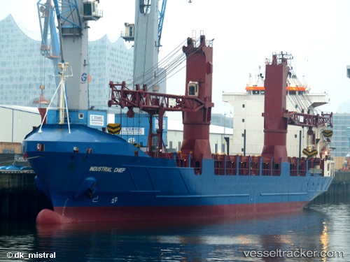
Vessel profile: FATIMA V is a General Cargo with dimensions m x m.
This page combines live AIS, route history, probable destination signals, nearby traffic, and port activity for practical vessel monitoring.
The current position of vessel FATIMA V is -7.09932 lat / 112.66666 lng. Updated: 2026-04-16 17:27:33 UTCNearest reference points:
- Near GRESIK
- Near Bangkalan
- Near Gresik, Java
Currently sailing under the flag of Indonesia ![]()
Details:
Live Vessel FATIMA V Analytics (details, animations, etc.)
Recent AIS points (UTC):
2026-04-16 12:24:31 UTC · -7.10188, 112.66693 · SOG 0 kn · COG 5°2026-04-16 14:15:32 UTC · -7.10177, 112.66650 · SOG 0 kn · COG 29°
2026-04-16 15:54:32 UTC · -7.09988, 112.66633 · SOG 0 kn · COG 146°
2026-04-16 17:27:33 UTC · -7.09932, 112.66666 · SOG 0 kn · COG 168°