 vesseltracker.com
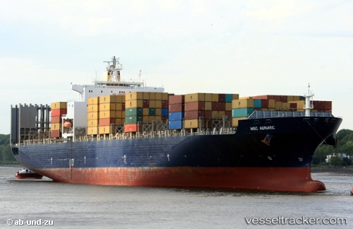
 GSL MELITA
Current Status
Where is the vessel?
GSL MELITA is currently in 237 nm NE of Mapia Island, based on AIS data received about 1h ago.
Latest AIS update:
Current position: 3.84667° N, 136.92500° E (237 nm NE of Mapia Island)
Average speed (last 7 days): Loading…
Average speed (last 30 days): Loading…
Vessel profile: GSL MELITA is a Container Ship with dimensions 277m x 40m.
This page combines live AIS, route history, probable destination signals, nearby traffic, and port activity for practical vessel monitoring.
The current position of vessel GSL MELITA is 3.84667 lat / 136.92500 lng. Updated: 2026-03-31 02:01:48 UTCCurrently sailing under the flag of Liberia ![]()
GSL MELITA built in 2001 year
Deadweight:
67591 tDetails:
Live Vessel GSL MELITA Analytics (details, animations, etc.)
Recent AIS points (UTC):
2026-03-30 19:55:47 UTC · 4.88333, 135.89500 · SOG 14 kn · COG -1°2026-03-30 21:43:47 UTC · 4.57833, 136.19833 · SOG 14 kn · COG -1°
2026-03-30 23:40:49 UTC · 4.24667, 136.52834 · SOG 14 kn · COG -1°
2026-03-31 02:01:48 UTC · 3.84667, 136.92500 · SOG 14 kn · COG -1°