 vesseltracker.com
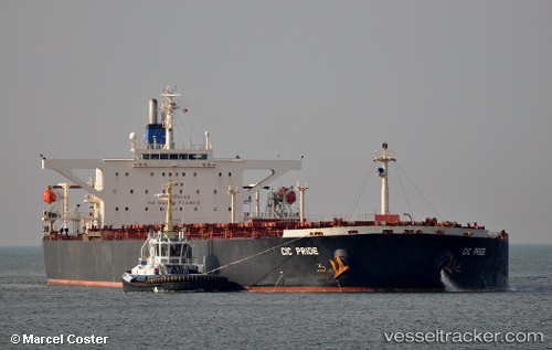
 RIDE I
Current Status
Where is the vessel?
RIDE I is currently in 11 nm SW of Port de Boké, based on AIS data received about 3h ago.
Latest AIS update:
Current position: 10.41458° N, 14.86876° W (11 nm SW of Port de Boké)
Average speed (last 7 days): Loading…
Average speed (last 30 days): Loading…
Vessel profile: RIDE I is a Bulk Carrier with dimensions 45m x 289m.
This page combines live AIS, route history, probable destination signals, nearby traffic, and port activity for practical vessel monitoring.
The current position of vessel RIDE I is 10.41458 lat / -14.86876 lng. Updated: 2026-03-26 15:42:32 UTCNearest reference points:
- Near Port de Boké
- 14 nm S of Port de Boké
- Near Dougoula
Currently sailing under the flag of Liberia ![]()
RIDE I built in 2002 year
Deadweight:
171381 tDetails:
Live Vessel RIDE I Analytics (details, animations, etc.)
Recent AIS points (UTC):
2026-03-26 10:06:32 UTC · 10.41683, -14.86850 · SOG 0 kn · COG 255°2026-03-26 11:39:33 UTC · 10.41789, -14.86928 · SOG 0 kn · COG 226°
2026-03-26 13:48:33 UTC · 10.41817, -14.86983 · SOG 0 kn · COG 201°
2026-03-26 15:42:32 UTC · 10.41458, -14.86876 · SOG 0.1 kn · COG 321°