 vesseltracker.com
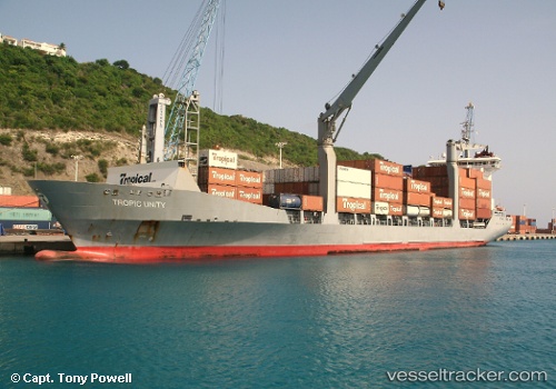
 Tropic Unity
Current Status
Where is the vessel?
Tropic Unity is currently in Near Charlotte Amalie, based on AIS data received about 1h ago.
Latest AIS update:
Current position: 18.33552° N, 64.94838° W (Near Charlotte Amalie)
Average speed (last 7 days): Loading…
Average speed (last 30 days): Loading…
Vessel profile: Tropic Unity is a General Cargo Ship with dimensions 160m x 22m.
This page combines live AIS, route history, probable destination signals, nearby traffic, and port activity for practical vessel monitoring.
The current position of vessel Tropic Unity is 18.33552 lat / -64.94838 lng. Updated: 2026-03-27 19:23:59 UTCNearest reference points:
- Near Charlotte Amalie
- Near ST THOMAS
- Near Norman Island
Currently sailing under the flag of St Vincent Grenadines ![]()
Tropic Unity built in 2002 year
Deadweight:
12418 tDetails:
Live Vessel Tropic Unity Analytics (details, animations, etc.)
Recent AIS points (UTC):
2026-03-27 14:02:54 UTC · 18.33550, -64.94839 · SOG 0 kn · COG 260°2026-03-27 15:52:31 UTC · 18.33500, -64.94833 · SOG 0 kn · COG -1°
2026-03-27 18:11:53 UTC · 18.33551, -64.94836 · SOG 0 kn · COG 259°
2026-03-27 19:23:59 UTC · 18.33552, -64.94838 · SOG 0 kn · COG 260°