 vesseltracker.com
 ULUC KA
Current Status
Where is the vessel?
ULUC KA is currently in 15 nm E of Il-Kappara, based on AIS data received about 2h ago.
Latest AIS update:
Current position: 35.91368° N, 14.86112° E (15 nm E of Il-Kappara)
Average speed (last 7 days): Loading…
Average speed (last 30 days): Loading…
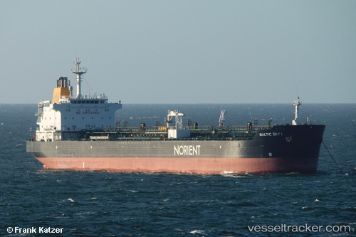
Vessel profile: ULUC KA is a Chemical/Oil Products Tanker with dimensions 182m x 27m.
This page combines live AIS, route history, probable destination signals, nearby traffic, and port activity for practical vessel monitoring.
The current position of vessel ULUC KA is 35.91368 lat / 14.86112 lng. Updated: 2026-04-16 13:22:37 UTCNearest reference points:
- 13 nm E of Il-Kappara
- 18 nm E of Il-Kappara
- Near Xghajra
Currently sailing under the flag of Turkey ![]()
ULUC KA built in 2001 year
Deadweight:
37272 tDetails:
Live Vessel ULUC KA Analytics (details, animations, etc.)
Recent AIS points (UTC):
2026-04-16 08:22:39 UTC · 35.91355, 14.86122 · SOG 0.1 kn · COG 39°2026-04-16 09:28:37 UTC · 35.91348, 14.86127 · SOG 0.1 kn · COG 39°
2026-04-16 11:26:09 UTC · 35.91342, 14.86146 · SOG 0.1 kn · COG -1°
2026-04-16 13:22:37 UTC · 35.91368, 14.86112 · SOG 0.2 kn · COG 56°