 vesseltracker.com
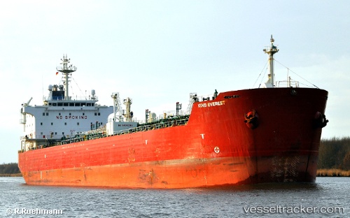
Green Plus
Current StatusWhere is the vessel?
Green Plus is currently in 90 nm NW of Pulau Nias, based on AIS data received about 1h ago.
Latest AIS update:
Current position: 2.37167° N, 96.72833° E (90 nm NW of Pulau Nias)
Average speed (last 7 days): Loading…
Average speed (last 30 days): Loading…
Vessel profile: Green Plus is a Chemical Oil Products Tanker with dimensions 26m x 181m.
This page combines live AIS, route history, probable destination signals, nearby traffic, and port activity for practical vessel monitoring.
The current position of vessel Green Plus is 2.37167 lat / 96.72833 lng. Updated: 2026-04-01 13:42:07 UTCNearest reference points:
- 112 nm S of Calang
- 45 nm SE of Calang
- Near Belawan
Details:
Live Vessel Green Plus Analytics (details, animations, etc.)
Recent AIS points (UTC):
2026-04-01 07:27:11 UTC · 1.64333, 97.71667 · SOG 12 kn · COG -1°2026-04-01 09:45:05 UTC · 1.84167, 97.29833 · SOG 12 kn · COG -1°
2026-04-01 11:48:05 UTC · 2.05333, 96.95167 · SOG 12 kn · COG -1°
2026-04-01 13:42:07 UTC · 2.37167, 96.72833 · SOG 12 kn · COG -1°