 vesseltracker.com
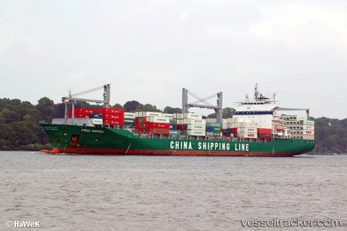
 SM KAVERI
Current Status
Where is the vessel?
SM KAVERI is currently in 125 nm E of Masirah, based on AIS data received about 13h ago.
Latest AIS update:
Current position: 19.85139° N, 60.96925° E (125 nm E of Masirah)
Average speed (last 7 days): Loading…
Average speed (last 30 days): Loading…
Vessel profile: SM KAVERI is a Container Ship with dimensions 207m x 207m.
This page combines live AIS, route history, probable destination signals, nearby traffic, and port activity for practical vessel monitoring.
The current position of vessel SM KAVERI is 19.85139 lat / 60.96925 lng. Updated: 2026-04-06 23:37:48 UTCNearest reference points:
- 90 nm SE of SUR
- 120 nm E of SUR
- 224 nm E of SUR
Currently sailing under the flag of India ![]()
SM KAVERI built in 2002 year
Deadweight:
35971 tDetails:
Live Vessel SM KAVERI Analytics (details, animations, etc.)
Recent AIS points (UTC):
2026-04-06 23:37:48 UTC · 19.85139, 60.96925 · SOG 13.4 kn · COG 269°2026-04-06 23:37:48 UTC · 19.85139, 60.96925 · SOG 13.4 kn · COG 269°
2026-04-06 23:37:48 UTC · 19.85139, 60.96925 · SOG 13.4 kn · COG 269°
2026-04-06 23:37:48 UTC · 19.85139, 60.96925 · SOG 13.4 kn · COG 269°