 vesseltracker.com
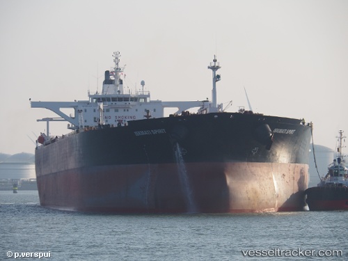
 BLUE
BLUE
Current Status
Where is the vessel?
BLUE is currently in 56 nm SW of King Abdullah City, based on AIS data received less than 1h ago.
Latest AIS update:
Current position: 21.88803° N, 38.23670° E (56 nm SW of King Abdullah City)
Average speed (last 7 days): Loading…
Average speed (last 30 days): Loading…
Vessel profile: BLUE is a Crude Oil Tanker with dimensions m x m.
This page combines live AIS, route history, probable destination signals, nearby traffic, and port activity for practical vessel monitoring.
The current position of vessel BLUE is 21.88803 lat / 38.23670 lng. Updated: 2026-04-02 12:14:01 UTCNearest reference points:
- 67 nm W of Tusdeer Free Zone
- 65 nm SW of King Abdullah City
- 64 nm W of Tusdeer Free Zone
Currently sailing under the flag of Cameroon ![]()
Details:
Live Vessel BLUE Analytics (details, animations, etc.)
Recent AIS points (UTC):
2026-04-02 05:23:59 UTC · 23.09739, 37.31420 · SOG 13.3 kn · COG 150°2026-04-02 07:33:50 UTC · 22.68072, 37.59941 · SOG 13.7 kn · COG 145°
2026-04-02 09:47:49 UTC · 22.26157, 37.89063 · SOG 12.8 kn · COG 146°
2026-04-02 12:14:01 UTC · 21.88803, 38.23670 · SOG 12.2 kn · COG 121°