 vesseltracker.com
 NAVIS
NAVIS
Current Status
Where is the vessel?
NAVIS is currently in Near KHORFAKKAN, based on AIS data received about 4h ago.
Latest AIS update:
Current position: 25.36323° N, 56.51510° E (Near KHORFAKKAN)
Average speed (last 7 days): Loading…
Average speed (last 30 days): Loading…
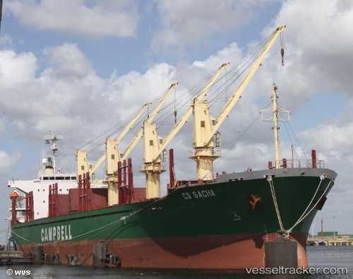
Vessel profile: NAVIS is a Bulk Carrier with dimensions m x m.
This page combines live AIS, route history, probable destination signals, nearby traffic, and port activity for practical vessel monitoring.
The current position of vessel NAVIS is 25.36323 lat / 56.51510 lng. Updated: 2026-03-31 08:49:56 UTCNearest reference points:
- Near KHORFAKKAN
- Near Offshore Fujairah
- Near Fujairah
Currently sailing under the flag of Saint Kitts and Nevis ![]()
Details:
Live Vessel NAVIS Analytics (details, animations, etc.)
Recent AIS points (UTC):
2026-03-31 02:18:05 UTC · 24.92442, 57.31899 · SOG 48.7 kn · COG -1°2026-03-31 07:51:41 UTC · 25.36669, 56.51884 · SOG 48.5 kn · COG 344°
2026-03-31 08:49:56 UTC · 25.36323, 56.51510 · SOG 48.7 kn · COG -1°
2026-03-31 08:49:56 UTC · 25.36323, 56.51510 · SOG 48.7 kn · COG -1°