 vesseltracker.com
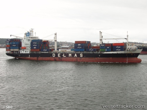
 CMA CGM GULF EXPRESS
Current Status
Where is the vessel?
CMA CGM GULF EXPRESS is currently in 33 nm NE of Sainte-Suzanne, based on AIS data received about 1h ago.
Latest AIS update:
Current position: 20.42765° S, 55.91535° E (33 nm NE of Sainte-Suzanne)
Average speed (last 7 days): Loading…
Average speed (last 30 days): Loading…
Vessel profile: CMA CGM GULF EXPRESS is a Container Ship with dimensions m x m.
This page combines live AIS, route history, probable destination signals, nearby traffic, and port activity for practical vessel monitoring.
The current position of vessel CMA CGM GULF EXPRESS is -20.42765 lat / 55.91535 lng. Updated: 2026-04-17 17:51:47 UTCNearest reference points:
- Near Port Louis
- 164 nm NW of Pointe aux Canonniers
Currently sailing under the flag of Malta ![]()
Details:
Live Vessel CMA CGM GULF EXPRESS Analytics (details, animations, etc.)
Recent AIS points (UTC):
2026-04-17 11:22:05 UTC · -20.14098, 57.49185 · SOG 0 kn · COG 239°2026-04-17 13:47:28 UTC · -20.21877, 56.95564 · SOG 14.7 kn · COG 259°
2026-04-17 16:05:47 UTC · -20.32187, 56.36393 · SOG 14.8 kn · COG 263°
2026-04-17 17:51:47 UTC · -20.42765, 55.91535 · SOG 15 kn · COG 255°