 vesseltracker.com
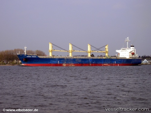
Larus
Current StatusWhere is the vessel?
Larus is currently in 25 nm SE of Kidd's Beach, based on AIS data received about 1h ago.
Latest AIS update:
Current position: 33.49405° S, 27.94052° E (25 nm SE of Kidd's Beach)
Average speed (last 7 days): Loading…
Average speed (last 30 days): Loading…
Vessel profile: Larus is a Bulk Carrier with dimensions 32m x 189m.
This page combines live AIS, route history, probable destination signals, nearby traffic, and port activity for practical vessel monitoring.
The current position of vessel Larus is -33.49405 lat / 27.94052 lng. Updated: 2026-04-10 02:17:12 UTCNearest reference points:
- Near Deal Party
- 21 nm S of Mount Pleasant
- 23 nm E of Port Saint John's
Details:
Live Vessel Larus Analytics (details, animations, etc.)
Recent AIS points (UTC):
2026-04-09 19:44:20 UTC · -32.38912, 29.35919 · SOG 14.9 kn · COG 227°2026-04-09 22:07:54 UTC · -32.80046, 28.86358 · SOG 15.3 kn · COG 226°
2026-04-09 23:47:06 UTC · -33.09369, 28.51030 · SOG 15.2 kn · COG 227°
2026-04-10 02:17:12 UTC · -33.49405, 27.94052 · SOG 14.7 kn · COG 239°