 vesseltracker.com
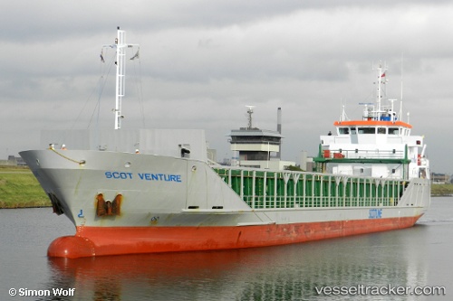
 WELL PRIME
Current Status
Where is the vessel?
WELL PRIME is currently in 17 nm SW of Areópolis, based on AIS data received about 1h ago.
Latest AIS update:
Current position: 36.53480° N, 22.06473° E (17 nm SW of Areópolis)
Average speed (last 7 days): Loading…
Average speed (last 30 days): Loading…
Vessel profile: WELL PRIME is a General Cargo with dimensions m x m.
This page combines live AIS, route history, probable destination signals, nearby traffic, and port activity for practical vessel monitoring.
The current position of vessel WELL PRIME is 36.53480 lat / 22.06473 lng. Updated: 2026-03-31 09:53:23 UTCNearest reference points:
- 17 nm S of Areópolis
- 23 nm S of Methoni
- Near Kythira
Currently sailing under the flag of Antigua and Barbuda ![]()
Details:
Live Vessel WELL PRIME Analytics (details, animations, etc.)
Recent AIS points (UTC):
2026-03-31 03:29:26 UTC · 37.25137, 21.30677 · SOG 9.4 kn · COG 162°2026-03-31 05:21:52 UTC · 36.97333, 21.41833 · SOG 9 kn · COG -1°
2026-03-31 07:39:52 UTC · 36.70833, 21.70667 · SOG 8 kn · COG -1°
2026-03-31 09:53:23 UTC · 36.53480, 22.06473 · SOG 8.9 kn · COG -1°