 vesseltracker.com
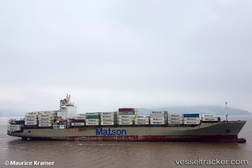
Manukai
Current StatusWhere is the vessel?
Manukai is currently in 256 nm NW of Apra, based on AIS data received about 1h ago.
Latest AIS update:
Current position: 15.89667° N, 141.00500° E (256 nm NW of Apra)
Average speed (last 7 days): Loading…
Average speed (last 30 days): Loading…
Vessel profile: Manukai is a Container Ship with dimensions 32m x 217m.
This page combines live AIS, route history, probable destination signals, nearby traffic, and port activity for practical vessel monitoring.
The current position of vessel Manukai is 15.89667 lat / 141.00500 lng. Updated: 2026-04-01 17:33:11 UTCNearest reference points:
- Open sea, approx. 406 nm off the nearest listed port
- Open sea, approx. 408 nm off the nearest listed port
- Open sea, approx. 410 nm off the nearest listed port
Details:
Live Vessel Manukai Analytics (details, animations, etc.)
Recent AIS points (UTC):
2026-04-01 11:31:35 UTC · 14.54153, 142.99802 · SOG 23.4 kn · COG 305°2026-04-01 13:24:10 UTC · 14.96500, 142.37833 · SOG 23 kn · COG -1°
2026-04-01 15:24:12 UTC · 15.41667, 141.71832 · SOG 23 kn · COG -1°
2026-04-01 17:33:11 UTC · 15.89667, 141.00500 · SOG 23 kn · COG -1°