 vesseltracker.com
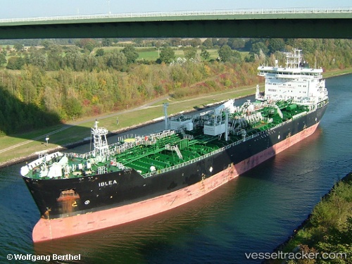
 IBLEA
IBLEA
Current Status
Where is the vessel?
IBLEA is currently in 106 nm N of Ad Dakhla, based on AIS data received about 2h ago.
Latest AIS update:
Current position: 25.39488° N, 15.39856° W (106 nm N of Ad Dakhla)
Average speed (last 7 days): Loading…
Average speed (last 30 days): Loading…
Vessel profile: IBLEA is a Oil/Chemical Tanker with dimensions m x m.
This page combines live AIS, route history, probable destination signals, nearby traffic, and port activity for practical vessel monitoring.
The current position of vessel IBLEA is 25.39488 lat / -15.39856 lng. Updated: 2026-03-27 11:18:08 UTCNearest reference points:
- 68 nm NW of Ad Dakhla
- Near DAKHLA
- 33 nm SE of San Agustin
Currently sailing under the flag of Portugal ![]()
Details:
Live Vessel IBLEA Analytics (details, animations, etc.)
Recent AIS points (UTC):
2026-03-27 05:34:41 UTC · 24.43524, -16.09763 · SOG 12.2 kn · COG 32°2026-03-27 06:44:19 UTC · 24.63050, -15.95346 · SOG 12.2 kn · COG 33°
2026-03-27 09:36:19 UTC · 25.10542, -15.59380 · SOG 12.1 kn · COG 32°
2026-03-27 11:18:08 UTC · 25.39488, -15.39856 · SOG 11.7 kn · COG 32°