 vesseltracker.com
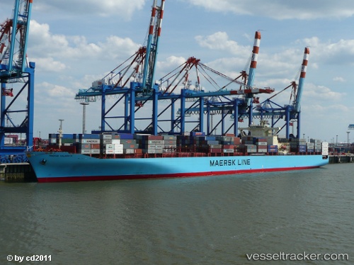
 MSC KALAMATA VII
Current Status
Where is the vessel?
MSC KALAMATA VII is currently in 171 nm SE of Xijiang, based on AIS data received about 1d ago.
Latest AIS update:
Current position: 19.86711° N, 117.50536° E (171 nm SE of Xijiang)
Average speed (last 7 days): Loading…
Average speed (last 30 days): Loading…
Vessel profile: MSC KALAMATA VII is a Container Ship with dimensions m x m.
This page combines live AIS, route history, probable destination signals, nearby traffic, and port activity for practical vessel monitoring.
The current position of vessel MSC KALAMATA VII is 19.86711 lat / 117.50536 lng. Updated: 2026-04-10 08:10:59 UTCNearest reference points:
- 148 nm SE of Xijiang
- 132 nm SW of Kaohsiung
- 96 nm SW of Kaohsiung
Currently sailing under the flag of Liberia ![]()
Details:
Live Vessel MSC KALAMATA VII Analytics (details, animations, etc.)
Recent AIS points (UTC):
2026-04-10 01:38:04 UTC · 21.22387, 118.91038 · SOG 17.3 kn · COG 224°2026-04-10 04:13:29 UTC · 20.66508, 118.36027 · SOG 17.9 kn · COG 231°
2026-04-10 05:55:28 UTC · 20.33377, 117.98293 · SOG 16.8 kn · COG 225°
2026-04-10 08:10:59 UTC · 19.86711, 117.50536 · SOG 16.8 kn · COG 224°