 vesseltracker.com
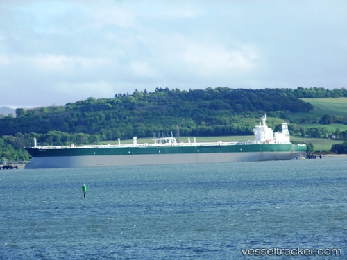
 ABIE
ABIE
Current Status
Where is the vessel?
ABIE is currently in 49 nm SW of Yonggipo, based on AIS data received about 1h ago.
Latest AIS update:
Current position: 37.27512° N, 124.15276° E (49 nm SW of Yonggipo)
Average speed (last 7 days): Loading…
Average speed (last 30 days): Loading…
Vessel profile: ABIE is a Crude Oil Tanker with dimensions m x m.
This page combines live AIS, route history, probable destination signals, nearby traffic, and port activity for practical vessel monitoring.
The current position of vessel ABIE is 37.27512 lat / 124.15276 lng. Updated: 2026-04-02 06:14:01 UTCNearest reference points:
- 61 nm E of Longyan Pt
- 54 nm E of Longyan Pt
- 53 nm E of SHIDAO
Currently sailing under the flag of Barbados ![]()
Details:
Live Vessel ABIE Analytics (details, animations, etc.)
Recent AIS points (UTC):
2026-04-02 00:24:10 UTC · 36.29882, 124.42487 · SOG 10.5 kn · COG 355°2026-04-02 02:16:02 UTC · 36.61680, 124.34620 · SOG 10.2 kn · COG 348°
2026-04-02 04:10:59 UTC · 36.92970, 124.24402 · SOG 10.1 kn · COG 343°
2026-04-02 06:14:01 UTC · 37.27512, 124.15276 · SOG 10.7 kn · COG 349°