 vesseltracker.com
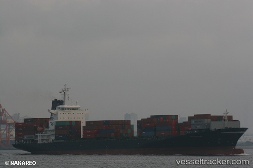
 LAKONIA
Current Status
Where is the vessel?
LAKONIA is currently in 16 nm W of Callao, based on AIS data received about 1h ago.
Latest AIS update:
Current position: 12.08082° S, 77.43220° W (16 nm W of Callao)
Average speed (last 7 days): Loading…
Average speed (last 30 days): Loading…
Vessel profile: LAKONIA is a Container Ship with dimensions m x m.
This page combines live AIS, route history, probable destination signals, nearby traffic, and port activity for practical vessel monitoring.
The current position of vessel LAKONIA is -12.08082 lat / -77.43220 lng. Updated: 2026-04-14 20:22:54 UTCNearest reference points:
- Near Callao
- 43 nm SW of Barranca
- 125 nm SW of Supe Bay
Currently sailing under the flag of Liberia ![]()
Details:
Live Vessel LAKONIA Analytics (details, animations, etc.)
Recent AIS points (UTC):
2026-04-14 14:27:35 UTC · -12.16038, -77.38377 · SOG 1 kn · COG 264°2026-04-14 15:58:06 UTC · -12.14151, -77.39660 · SOG 1.2 kn · COG 267°
2026-04-14 18:09:45 UTC · -12.11121, -77.41662 · SOG 1.1 kn · COG 261°
2026-04-14 20:22:54 UTC · -12.08082, -77.43220 · SOG 0.8 kn · COG 269°