 vesseltracker.com
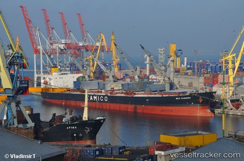
Nota A
Current StatusWhere is the vessel?
Nota A is currently in Near EL DEKHEILA, based on AIS data received about 2h ago.
Latest AIS update:
Current position: 31.17950° N, 29.74195° E (Near EL DEKHEILA)
Average speed (last 7 days): Loading…
Average speed (last 30 days): Loading…
Vessel profile: Nota A is a Bulk Carrier with dimensions 32m x 188m.
This page combines live AIS, route history, probable destination signals, nearby traffic, and port activity for practical vessel monitoring.
The current position of vessel Nota A is 31.17950 lat / 29.74195 lng. Updated: 2026-03-26 14:14:57 UTCNearest reference points:
- Near EL DEKHEILA
- Near Alexandria
- 13 nm W of EL DEKHEILA
Details:
Live Vessel Nota A Analytics (details, animations, etc.)
Recent AIS points (UTC):
2026-03-26 07:39:01 UTC · 31.17966, 29.74201 · SOG 0 kn · COG -1°2026-03-26 09:18:13 UTC · 31.17946, 29.74185 · SOG 0.2 kn · COG -1°
2026-03-26 11:57:02 UTC · 31.17949, 29.74194 · SOG 0.1 kn · COG 302°
2026-03-26 14:14:57 UTC · 31.17950, 29.74195 · SOG 0.1 kn · COG 304°