 vesseltracker.com
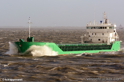
 FAMITA
Current Status
Where is the vessel?
FAMITA is currently in Near Randers, based on AIS data received less than 1h ago.
Latest AIS update:
Current position: 56.45939° N, 10.04664° E (Near Randers)
Average speed (last 7 days): Loading…
Average speed (last 30 days): Loading…
Vessel profile: FAMITA is a General Cargo with dimensions m x m.
This page combines live AIS, route history, probable destination signals, nearby traffic, and port activity for practical vessel monitoring.
The current position of vessel FAMITA is 56.45939 lat / 10.04664 lng. Updated: 2026-04-02 03:45:14 UTCNearest reference points:
- Near Randers
- Near Svenstrup
- Near Horsens
Currently sailing under the flag of Bahamas ![]()
Details:
Live Vessel FAMITA Analytics (details, animations, etc.)
Recent AIS points (UTC):
2026-04-01 22:06:37 UTC · 56.67445, 10.88844 · SOG 9 kn · COG 279°2026-04-02 00:09:47 UTC · 56.60737, 10.37598 · SOG 7.2 kn · COG 252°
2026-04-02 02:10:58 UTC · 56.47375, 10.21061 · SOG 5.9 kn · COG 229°
2026-04-02 03:45:14 UTC · 56.45939, 10.04664 · SOG 0 kn · COG 240°