 vesseltracker.com
 MIKATI
Current Status
Where is the vessel?
MIKATI is currently in 150 nm SW of Kinfraa-SEZ/Thiruvananthapuram, based on AIS data received about 1h ago.
Latest AIS update:
Current position: 6.36765° N, 75.58897° E (150 nm SW of Kinfraa-SEZ/Thiruvananthapuram)
Average speed (last 7 days): Loading…
Average speed (last 30 days): Loading…
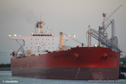
Vessel profile: MIKATI is a Crude Oil Tanker with dimensions 247m x 42m.
This page combines live AIS, route history, probable destination signals, nearby traffic, and port activity for practical vessel monitoring.
The current position of vessel MIKATI is 6.36765 lat / 75.58897 lng. Updated: 2026-03-31 17:37:38 UTCNearest reference points:
- 91 nm S of Nagercoil
- 98 nm S of Nagercoil
- 41 nm S of Nagercoil
Currently sailing under the flag of Sierra Leone ![]()
MIKATI built in 2003 year
Deadweight:
107092 tDetails:
Live Vessel MIKATI Analytics (details, animations, etc.)
Recent AIS points (UTC):
2026-03-31 11:28:50 UTC · 5.83591, 76.98989 · SOG 14.5 kn · COG 295°2026-03-31 12:35:21 UTC · 5.93786, 76.74507 · SOG 14.3 kn · COG 295°
2026-03-31 15:25:14 UTC · 6.17720, 76.09707 · SOG 14.4 kn · COG 292°
2026-03-31 17:37:38 UTC · 6.36765, 75.58897 · SOG 14.7 kn · COG 291°