 vesseltracker.com
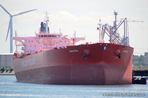
 MT KIROHO
Current Status
Where is the vessel?
MT KIROHO is currently in Near SUEZ CANAL, based on AIS data received less than 1h ago.
Latest AIS update:
Current position: 30.34833° N, 32.38833° E (Near SUEZ CANAL)
Average speed (last 7 days): Loading…
Average speed (last 30 days): Loading…
Vessel profile: MT KIROHO is a Crude Oil Tanker with dimensions m x m.
This page combines live AIS, route history, probable destination signals, nearby traffic, and port activity for practical vessel monitoring.
The current position of vessel MT KIROHO is 30.34833 lat / 32.38833 lng. Updated: 2026-04-01 12:13:00 UTCNearest reference points:
- Near SUEZ CANAL
- Near As Suways (Suez)
- Near SUEZ PORT
Currently sailing under the flag of Barbados ![]()
Details:
Live Vessel MT KIROHO Analytics (details, animations, etc.)
Recent AIS points (UTC):
2026-04-01 05:48:00 UTC · 29.85108, 32.57222 · SOG 0.4 kn · COG 153°2026-04-01 07:58:54 UTC · 29.95947, 32.58478 · SOG 9.6 kn · COG 14°
2026-04-01 10:07:53 UTC · 30.26213, 32.50868 · SOG 8.4 kn · COG 287°
2026-04-01 12:13:00 UTC · 30.34833, 32.38833 · SOG 0 kn · COG -1°