 vesseltracker.com
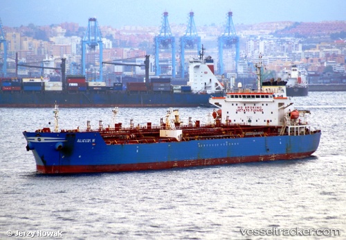
 ANKARA
Current Status
Where is the vessel?
ANKARA is currently in 22 nm SE of TASUCU, based on AIS data received less than 1h ago.
Latest AIS update:
Current position: 36.08198° N, 34.23391° E (22 nm SE of TASUCU)
Average speed (last 7 days): Loading…
Average speed (last 30 days): Loading…
Vessel profile: ANKARA is a Chemical Oil Products Tanker with dimensions 176m x 31m.
This page combines live AIS, route history, probable destination signals, nearby traffic, and port activity for practical vessel monitoring.
The current position of vessel ANKARA is 36.08198 lat / 34.23391 lng. Updated: 2026-04-01 10:09:29 UTCNearest reference points:
- Near Mersin
- 15 nm SW of Yesilovacik
- Near Mersin-Free Zone
Currently sailing under the flag of Panama ![]()
ANKARA built in 2004 year
Deadweight:
40083 tDetails:
Live Vessel ANKARA Analytics (details, animations, etc.)
Recent AIS points (UTC):
2026-04-01 03:24:20 UTC · 35.85450, 32.65496 · SOG 11.9 kn · COG 90°2026-04-01 05:48:10 UTC · 35.92308, 33.24261 · SOG 12.1 kn · COG 80°
2026-04-01 08:01:09 UTC · 35.99989, 33.75712 · SOG 11 kn · COG 78°
2026-04-01 10:09:29 UTC · 36.08198, 34.23391 · SOG 11.7 kn · COG 78°