 vesseltracker.com
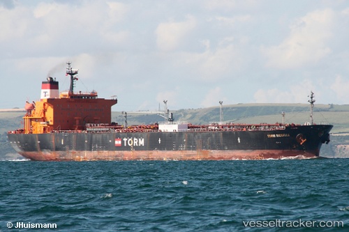
 DUKE II
Current Status
Where is the vessel?
DUKE II is currently in 35 nm E of Tomtbod, based on AIS data received about 1h ago.
Latest AIS update:
Current position: 57.03360° N, 19.58153° E (35 nm E of Tomtbod)
Average speed (last 7 days): Loading…
Average speed (last 30 days): Loading…
Vessel profile: DUKE II is a Crude Oil Tanker with dimensions 33m x 183m.
This page combines live AIS, route history, probable destination signals, nearby traffic, and port activity for practical vessel monitoring.
The current position of vessel DUKE II is 57.03360 lat / 19.58153 lng. Updated: 2026-03-29 23:50:01 UTCNearest reference points:
- 39 nm W of Pilies juru uosto PVP/Klaipeda
- Near Cimdenieki
- 37 nm W of Vikati Sadam
Currently sailing under the flag of Panama ![]()
DUKE II built in 2003 year
Deadweight:
47024 tDetails:
Live Vessel DUKE II Analytics (details, animations, etc.)
Recent AIS points (UTC):
2026-03-29 18:23:24 UTC · 56.10577, 18.26103 · SOG 13.4 kn · COG -1°2026-03-29 20:11:39 UTC · 56.34233, 18.83305 · SOG 13.2 kn · COG -1°
2026-03-29 21:37:42 UTC · 56.62230, 19.11694 · SOG 13.3 kn · COG -1°
2026-03-29 23:50:01 UTC · 57.03360, 19.58153 · SOG 13.1 kn · COG -1°