 vesseltracker.com
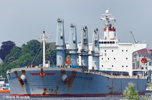
Manalagi Samba
Current StatusWhere is the vessel?
Manalagi Samba is currently in 12 nm SE of Bunati, based on AIS data received about 2h ago.
Latest AIS update:
Current position: 3.90225° S, 115.74078° E (12 nm SE of Bunati)
Average speed (last 7 days): Loading…
Average speed (last 30 days): Loading…
Vessel profile: Manalagi Samba is a Bulk Carrier with dimensions 32m x 190m.
This page combines live AIS, route history, probable destination signals, nearby traffic, and port activity for practical vessel monitoring.
The current position of vessel Manalagi Samba is -3.90225 lat / 115.74078 lng. Updated: 2026-03-28 13:45:49 UTCNearest reference points:
- 12 nm SE of Bunati
- Near Bunati
- Near TANJUNG PEMANCINGAN
Details:
Live Vessel Manalagi Samba Analytics (details, animations, etc.)
Recent AIS points (UTC):
2026-03-28 07:27:19 UTC · -3.90102, 115.73997 · SOG 0.1 kn · COG -1°2026-03-28 10:15:49 UTC · -3.90130, 115.74003 · SOG 0 kn · COG 75°
2026-03-28 11:03:49 UTC · -3.90133, 115.74005 · SOG 0.1 kn · COG 74°
2026-03-28 13:45:49 UTC · -3.90225, 115.74078 · SOG 0 kn · COG 38°