 vesseltracker.com
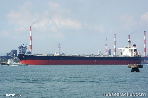
Sunny Link
Current StatusWhere is the vessel?
Sunny Link is currently in 48 nm SW of Saldanha Bay, based on AIS data received about 1h ago.
Latest AIS update:
Current position: 33.72487° S, 17.27449° E (48 nm SW of Saldanha Bay)
Average speed (last 7 days): Loading…
Average speed (last 30 days): Loading…
Vessel profile: Sunny Link is a Bulk Carrier with dimensions 45m x 289m.
This page combines live AIS, route history, probable destination signals, nearby traffic, and port activity for practical vessel monitoring.
The current position of vessel Sunny Link is -33.72487 lat / 17.27449 lng. Updated: 2026-03-29 23:50:06 UTCNearest reference points:
- 12 nm W of ROBBEN ISLAND
- Near HOUT BAY
- Near Cape Town
Details:
Live Vessel Sunny Link Analytics (details, animations, etc.)
Recent AIS points (UTC):
2026-03-29 18:22:39 UTC · -33.18809, 16.63724 · SOG 8.5 kn · COG 140°2026-03-29 20:12:26 UTC · -33.38448, 16.84755 · SOG 8.2 kn · COG 149°
2026-03-29 21:36:45 UTC · -33.49608, 17.02943 · SOG 8.3 kn · COG 150°
2026-03-29 23:50:06 UTC · -33.72487, 17.27449 · SOG 8.4 kn · COG 144°