 vesseltracker.com
 Ocean Harmony
Current Status
Where is the vessel?
Ocean Harmony is currently in 63 nm SW of Gageohyangri, based on AIS data received about 18h ago.
Latest AIS update:
Current position: 33.13282° N, 124.49287° E (63 nm SW of Gageohyangri)
Average speed (last 7 days): Loading…
Average speed (last 30 days): Loading…
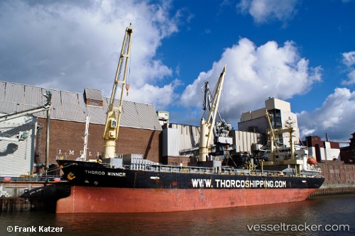
Vessel profile: Ocean Harmony is a Multi Purpose Carrier with dimensions 100m x 100m.
This page combines live AIS, route history, probable destination signals, nearby traffic, and port activity for practical vessel monitoring.
The current position of vessel Ocean Harmony is 33.13282 lat / 124.49287 lng. Updated: 2026-04-10 07:15:36 UTCNearest reference points:
- 61 nm S of Gageohyangri
- 96 nm SW of Hwasun
- 47 nm W of Hallim
Currently sailing under the flag of Belize ![]()
Ocean Harmony built in 2002 year
Deadweight:
10114 tDetails:
Live Vessel Ocean Harmony Analytics (details, animations, etc.)
Recent AIS points (UTC):
2026-04-10 01:47:49 UTC · 32.23844, 124.22021 · SOG 9.9 kn · COG 15°2026-04-10 03:37:21 UTC · 32.53222, 124.31204 · SOG 10.2 kn · COG 18°
2026-04-10 05:34:59 UTC · 32.85869, 124.40933 · SOG 10.2 kn · COG 15°
2026-04-10 07:15:36 UTC · 33.13282, 124.49287 · SOG 10.1 kn · COG -1°