 vesseltracker.com
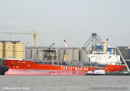
Ginga Saker
Current StatusWhere is the vessel?
Ginga Saker is currently in Near Map Ta Phut, based on AIS data received less than 1h ago.
Latest AIS update:
Current position: 12.63525° N, 101.12607° E (Near Map Ta Phut)
Average speed (last 7 days): Loading…
Average speed (last 30 days): Loading…
Vessel profile: Ginga Saker is a Chemical Oil Products Tanker with dimensions 24m x 148m.
This page combines live AIS, route history, probable destination signals, nearby traffic, and port activity for practical vessel monitoring.
The current position of vessel Ginga Saker is 12.63525 lat / 101.12607 lng. Updated: 2026-03-31 12:21:56 UTCNearest reference points:
- 11 nm S of Map Ta Phut
- Near SATTAHIP
- Near Tips Container Terminal
Details:
Live Vessel Ginga Saker Analytics (details, animations, etc.)
Recent AIS points (UTC):
2026-03-31 05:51:56 UTC · 12.63553, 101.12607 · SOG 0.1 kn · COG 270°2026-03-31 07:33:56 UTC · 12.63572, 101.12605 · SOG 0 kn · COG 270°
2026-03-31 10:15:56 UTC · 12.63562, 101.12613 · SOG 0 kn · COG 270°
2026-03-31 12:21:56 UTC · 12.63525, 101.12607 · SOG 0.2 kn · COG 271°