 vesseltracker.com
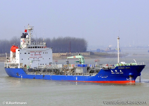
 ROAMA 8
Current Status
Where is the vessel?
ROAMA 8 is currently in Near CALACA, based on AIS data received less than 1h ago.
Latest AIS update:
Current position: 13.91815° N, 120.78372° E (Near CALACA)
Average speed (last 7 days): Loading…
Average speed (last 30 days): Loading…
Vessel profile: ROAMA 8 is a Oil/Chemical Tanker with dimensions m x m.
This page combines live AIS, route history, probable destination signals, nearby traffic, and port activity for practical vessel monitoring.
The current position of vessel ROAMA 8 is 13.91815 lat / 120.78372 lng. Updated: 2026-04-09 03:54:11 UTCNearest reference points:
- Near Nasugbu, Luzon
- Near Lobo
- Near Noveleta
Currently sailing under the flag of Panama ![]()
Details:
Live Vessel ROAMA 8 Analytics (details, animations, etc.)
Recent AIS points (UTC):
2026-04-08 19:34:02 UTC · 13.91700, 120.78268 · SOG 0.1 kn · COG 81°2026-04-08 23:45:07 UTC · 13.91626, 120.78314 · SOG 0.1 kn · COG 39°
2026-04-09 02:27:07 UTC · 13.91693, 120.78262 · SOG 0.1 kn · COG 80°
2026-04-09 03:54:11 UTC · 13.91815, 120.78372 · SOG 0.1 kn · COG 160°