 vesseltracker.com
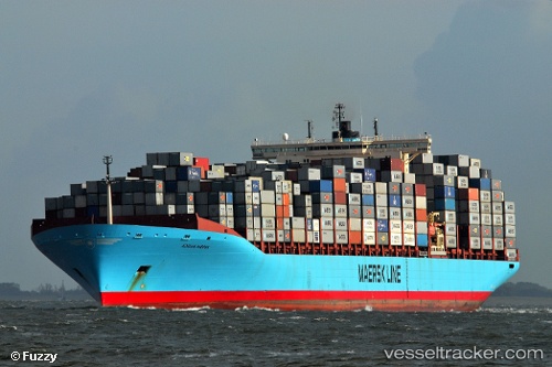
 GSL ALEXANDRA
Current Status
Where is the vessel?
GSL ALEXANDRA is currently in 23 nm S of Nootka, based on AIS data received less than 1h ago.
Latest AIS update:
Current position: 49.21746° N, 126.62221° W (23 nm S of Nootka)
Average speed (last 7 days): Loading…
Average speed (last 30 days): Loading…
Vessel profile: GSL ALEXANDRA is a Container Ship with dimensions m x m.
This page combines live AIS, route history, probable destination signals, nearby traffic, and port activity for practical vessel monitoring.
The current position of vessel GSL ALEXANDRA is 49.21746 lat / -126.62221 lng. Updated: 2026-04-12 13:22:20 UTCNearest reference points:
- 21 nm NW of Tatoosh Island
- Near PORT HARDY
- Near Powell River
Currently sailing under the flag of Liberia ![]()
Details:
Live Vessel GSL ALEXANDRA Analytics (details, animations, etc.)
Recent AIS points (UTC):
2026-04-12 07:48:34 UTC · 49.98361, -127.94477 · SOG 12.5 kn · COG 127°2026-04-12 10:24:02 UTC · 49.62767, -127.32835 · SOG 12.3 kn · COG 133°
2026-04-12 11:37:02 UTC · 49.45426, -127.04208 · SOG 12.2 kn · COG 132°
2026-04-12 13:22:20 UTC · 49.21746, -126.62221 · SOG 12.7 kn · COG 132°