 vesseltracker.com
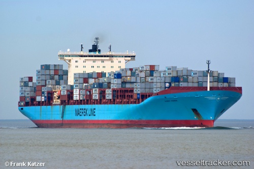
 KOSTAS K
Current Status
Where is the vessel?
KOSTAS K is currently in Near Tacoma, based on AIS data received less than 1h ago.
Latest AIS update:
Current position: 47.27667° N, 122.41167° W (Near Tacoma)
Average speed (last 7 days): Loading…
Average speed (last 30 days): Loading…
Vessel profile: KOSTAS K is a Container Ship with dimensions m x m.
This page combines live AIS, route history, probable destination signals, nearby traffic, and port activity for practical vessel monitoring.
The current position of vessel KOSTAS K is 47.27667 lat / -122.41167 lng. Updated: 2026-04-18 06:03:48 UTCNearest reference points:
- Near Tacoma
- Near Fife
- Near Fox Island
Currently sailing under the flag of Liberia ![]()
Details:
Live Vessel KOSTAS K Analytics (details, animations, etc.)
Recent AIS points (UTC):
2026-04-17 23:45:22 UTC · 47.27590, -122.41165 · SOG 0 kn · COG 133°2026-04-18 02:00:13 UTC · 47.27667, -122.41167 · SOG 0 kn · COG -1°
2026-04-18 03:45:22 UTC · 47.27590, -122.41167 · SOG 0 kn · COG 133°
2026-04-18 06:03:48 UTC · 47.27667, -122.41167 · SOG 0 kn · COG -1°