 vesseltracker.com
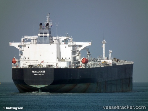
 HANNAH
Current Status
Where is the vessel?
HANNAH is currently in Near Longkou, based on AIS data received about 1d ago.
Latest AIS update:
Current position: 37.69706° N, 120.14071° E (Near Longkou)
Average speed (last 7 days): Loading…
Average speed (last 30 days): Loading…
Vessel profile: HANNAH is a Crude Oil Tanker with dimensions m x m.
This page combines live AIS, route history, probable destination signals, nearby traffic, and port activity for practical vessel monitoring.
The current position of vessel HANNAH is 37.69706 lat / 120.14071 lng. Updated: 2026-04-10 08:17:15 UTCNearest reference points:
- Near Longkou
- 15 nm NE of Taipingwan
- Near Longkou Pt
Currently sailing under the flag of Cameroon ![]()
Details:
Live Vessel HANNAH Analytics (details, animations, etc.)
Recent AIS points (UTC):
2026-04-10 01:50:13 UTC · 37.69688, 120.14534 · SOG 0 kn · COG 247°2026-04-10 03:53:13 UTC · 37.69691, 120.14543 · SOG 0 kn · COG 250°
2026-04-10 05:44:15 UTC · 37.69611, 120.14548 · SOG 0 kn · COG 273°
2026-04-10 08:17:15 UTC · 37.69706, 120.14071 · SOG 0 kn · COG 124°