 vesseltracker.com
 SOUTH STAR
Current Status
Where is the vessel?
SOUTH STAR is currently in 50 nm SE of FINIKE, based on AIS data received about 1h ago.
Latest AIS update:
Current position: 35.77219° N, 30.95437° E (50 nm SE of FINIKE)
Average speed (last 7 days): Loading…
Average speed (last 30 days): Loading…
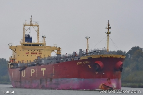
Vessel profile: SOUTH STAR is a Oil/Chemical Tanker with dimensions m x m.
This page combines live AIS, route history, probable destination signals, nearby traffic, and port activity for practical vessel monitoring.
The current position of vessel SOUTH STAR is 35.77219 lat / 30.95437 lng. Updated: 2026-03-26 21:23:34 UTCNearest reference points:
- Near Kemer
- Near Finike
- Near Antalya Free Zone
Currently sailing under the flag of Cameroon ![]()
Details:
Live Vessel SOUTH STAR Analytics (details, animations, etc.)
Recent AIS points (UTC):
2026-03-26 15:30:52 UTC · 35.81846, 32.51090 · SOG 12.9 kn · COG 261°2026-03-26 17:39:05 UTC · 35.77529, 31.94702 · SOG 12.8 kn · COG 270°
2026-03-26 17:39:05 UTC · 35.77529, 31.94702 · SOG 12.8 kn · COG 270°
2026-03-26 21:23:34 UTC · 35.77219, 30.95437 · SOG 12.2 kn · COG 271°