 vesseltracker.com
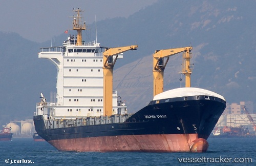
 NOAH
NOAH
Current Status
Where is the vessel?
NOAH is currently in Near Guanta, based on AIS data received about 2h ago.
Latest AIS update:
Current position: 10.24584° N, 64.59458° W (Near Guanta)
Average speed (last 7 days): Loading…
Average speed (last 30 days): Loading…
Vessel profile: NOAH is a Cargo/Container Ship with dimensions m x m.
This page combines live AIS, route history, probable destination signals, nearby traffic, and port activity for practical vessel monitoring.
The current position of vessel NOAH is 10.24584 lat / -64.59458 lng. Updated: 2026-04-02 23:21:29 UTCNearest reference points:
- Near Puerto Sucre
- 15 nm SW of Punta de Piedras
Currently sailing under the flag of Antigua and Barbuda ![]()
Details:
Live Vessel NOAH Analytics (details, animations, etc.)
Recent AIS points (UTC):
2026-04-02 18:12:47 UTC · 10.24773, -64.59427 · SOG 1.2 kn · COG 244°2026-04-02 19:32:16 UTC · 10.24500, -64.59333 · SOG 0 kn · COG -1°
2026-04-02 21:24:27 UTC · 10.24584, -64.59455 · SOG 0 kn · COG 283°
2026-04-02 23:21:29 UTC · 10.24584, -64.59458 · SOG 0.1 kn · COG 283°