 vesseltracker.com
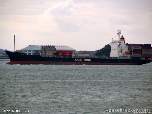
 HR BALU
Current Status
Where is the vessel?
HR BALU is currently in 46 nm S of Oluvil, based on AIS data received less than 1h ago.
Latest AIS update:
Current position: 6.55495° N, 82.08150° E (46 nm S of Oluvil)
Average speed (last 7 days): Loading…
Average speed (last 30 days): Loading…
Vessel profile: HR BALU is a Container Ship with dimensions m x m.
This page combines live AIS, route history, probable destination signals, nearby traffic, and port activity for practical vessel monitoring.
The current position of vessel HR BALU is 6.55495 lat / 82.08150 lng. Updated: 2026-03-29 17:43:48 UTCNearest reference points:
- 42 nm E of Konwelana
- 40 nm E of Konwelana
- 79 nm E of Konwelana
Currently sailing under the flag of Bangladesh ![]()
Details:
Live Vessel HR BALU Analytics (details, animations, etc.)
Recent AIS points (UTC):
2026-03-29 12:18:10 UTC · 5.92345, 81.41840 · SOG 10.3 kn · COG 70°2026-03-29 14:10:47 UTC · 6.03768, 81.71833 · SOG 10.2 kn · COG -1°
2026-03-29 15:32:58 UTC · 6.22403, 81.86488 · SOG 10.7 kn · COG 37°
2026-03-29 17:43:48 UTC · 6.55495, 82.08150 · SOG 10.6 kn · COG 33°