 vesseltracker.com
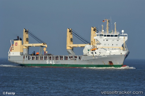
 MARIA
MARIA
Current Status
Where is the vessel?
MARIA is currently in Near Lisboa, based on AIS data received less than 1h ago.
Latest AIS update:
Current position: 38.70188° N, 9.15752° W (Near Lisboa)
Average speed (last 7 days): Loading…
Average speed (last 30 days): Loading…
Vessel profile: MARIA is a General Cargo with dimensions m x m.
This page combines live AIS, route history, probable destination signals, nearby traffic, and port activity for practical vessel monitoring.
The current position of vessel MARIA is 38.70188 lat / -9.15752 lng. Updated: 2026-04-17 05:45:13 UTCNearest reference points:
- Near Lisboa
- Near COVA DA PIEDADE
- Near Memória
Currently sailing under the flag of Antigua and Barbuda ![]()
Details:
Live Vessel MARIA Analytics (details, animations, etc.)
Recent AIS points (UTC):
2026-04-16 23:30:30 UTC · 38.70189, -9.15750 · SOG 0 kn · COG 77°2026-04-17 02:01:35 UTC · 38.70190, -9.15753 · SOG 0 kn · COG 77°
2026-04-17 04:08:29 UTC · 38.70190, -9.15751 · SOG 0 kn · COG 77°
2026-04-17 05:45:13 UTC · 38.70188, -9.15752 · SOG 0 kn · COG 77°