 vesseltracker.com
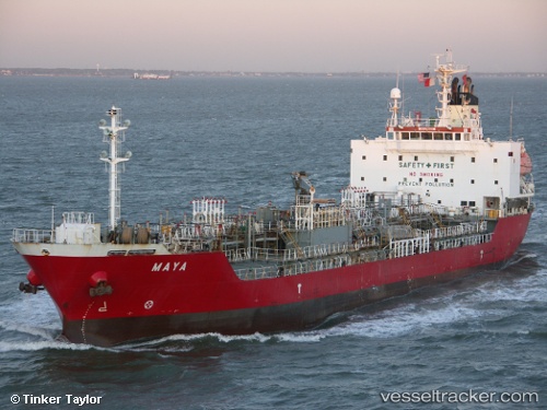
 HARTATI
Current Status
Where is the vessel?
HARTATI is currently in Near Vishakhapatnam, based on AIS data received about 1h ago.
Latest AIS update:
Current position: 17.69492° N, 83.27482° E (Near Vishakhapatnam)
Average speed (last 7 days): Loading…
Average speed (last 30 days): Loading…
Vessel profile: HARTATI is a Oil/Chemical Tanker with dimensions m x m.
This page combines live AIS, route history, probable destination signals, nearby traffic, and port activity for practical vessel monitoring.
The current position of vessel HARTATI is 17.69492 lat / 83.27482 lng. Updated: 2026-04-09 21:30:11 UTCNearest reference points:
- Near Vishakhapatnam
- Near Wipro Sez/Resapuvanipalem
- Near Gopalpur
Currently sailing under the flag of Indonesia ![]()
Details:
Live Vessel HARTATI Analytics (details, animations, etc.)
Recent AIS points (UTC):
2026-04-09 16:02:35 UTC · 17.69495, 83.27473 · SOG 0 kn · COG -1°2026-04-09 18:13:19 UTC · 17.69490, 83.27492 · SOG 0 kn · COG 104°
2026-04-09 19:34:20 UTC · 17.69500, 83.27487 · SOG 0.1 kn · COG 103°
2026-04-09 21:30:11 UTC · 17.69492, 83.27482 · SOG 0 kn · COG -1°