 vesseltracker.com
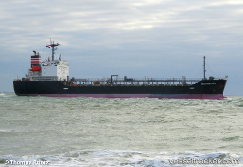
 STARBOUND EXPLORER
Current Status
Where is the vessel?
STARBOUND EXPLORER is currently in Near Sharjah, based on AIS data received about 1h ago.
Latest AIS update:
Current position: 25.44304° N, 55.31229° E (Near Sharjah)
Average speed (last 7 days): Loading…
Average speed (last 30 days): Loading…
Vessel profile: STARBOUND EXPLORER is a Oil/Chemical Tanker with dimensions m x m.
This page combines live AIS, route history, probable destination signals, nearby traffic, and port activity for practical vessel monitoring.
The current position of vessel STARBOUND EXPLORER is 25.44304 lat / 55.31229 lng. Updated: 2026-03-28 07:37:42 UTCNearest reference points:
- Near Sharjah
- Near Mina Khalid
- Near AJMAN
Currently sailing under the flag of Madagascar ![]()
Details:
Live Vessel STARBOUND EXPLORER Analytics (details, animations, etc.)
Recent AIS points (UTC):
2026-03-28 00:01:40 UTC · 25.44362, 55.31132 · SOG 0.6 kn · COG -1°2026-03-28 00:01:40 UTC · 25.44362, 55.31132 · SOG 0.6 kn · COG -1°
2026-03-28 06:04:49 UTC · 25.44250, 55.31198 · SOG 0.6 kn · COG -1°
2026-03-28 07:37:42 UTC · 25.44304, 55.31229 · SOG 0.9 kn · COG -1°