 vesseltracker.com
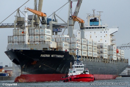
 CMA CGM PUERTO ANTIOQUIA
Current Status
Where is the vessel?
CMA CGM PUERTO ANTIOQUIA is currently in 298 nm N of Tinaquillo, based on AIS data received about 2h ago.
Latest AIS update:
Current position: 14.72027° N, 67.04581° E (298 nm N of Tinaquillo)
Average speed (last 7 days): Loading…
Average speed (last 30 days): Loading…
Vessel profile: CMA CGM PUERTO ANTIOQUIA is a Container Ship with dimensions 210m x 30m.
This page combines live AIS, route history, probable destination signals, nearby traffic, and port activity for practical vessel monitoring.
The current position of vessel CMA CGM PUERTO ANTIOQUIA is 14.72027 lat / 67.04581 lng. Updated: 2026-03-27 08:22:05 UTCNearest reference points:
- 306 nm SW of Veraval
- 282 nm W of RATNAGIRI
- 187 nm N of Tinaquillo
Currently sailing under the flag of Bahamas ![]()
CMA CGM PUERTO ANTIOQUIA built in 2004 year
Deadweight:
34300 tDetails:
Live Vessel CMA CGM PUERTO ANTIOQUIA Analytics (details, animations, etc.)
Recent AIS points (UTC):
2026-03-27 02:25:36 UTC · 14.83364, 66.97326 · SOG 1.3 kn · COG 305°2026-03-27 04:06:03 UTC · 14.81222, 66.99247 · SOG 1.3 kn · COG -1°
2026-03-27 06:15:36 UTC · 14.77105, 67.02317 · SOG 1.7 kn · COG 4°
2026-03-27 08:22:05 UTC · 14.72027, 67.04581 · SOG 1.5 kn · COG 5°