 vesseltracker.com
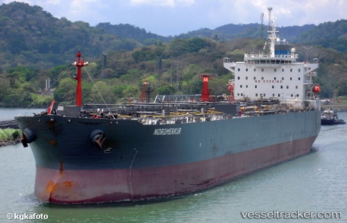
 KING CHAIN
Current Status
Where is the vessel?
KING CHAIN is currently in 23 nm SE of Kakap Natuna Terminal, based on AIS data received about 2h ago.
Latest AIS update:
Current position: 4.70523° N, 106.18012° E (23 nm SE of Kakap Natuna Terminal)
Average speed (last 7 days): Loading…
Average speed (last 30 days): Loading…
Vessel profile: KING CHAIN is a Oil Products Tanker with dimensions m x m.
This page combines live AIS, route history, probable destination signals, nearby traffic, and port activity for practical vessel monitoring.
The current position of vessel KING CHAIN is 4.70523 lat / 106.18012 lng. Updated: 2026-03-30 23:35:00 UTCNearest reference points:
- 45 nm E of Kakap Natuna Terminal
- 46 nm E of Kakap Natuna Terminal
- Near Anoa Natuna Pt.
Currently sailing under the flag of Cameroon ![]()
Details:
Live Vessel KING CHAIN Analytics (details, animations, etc.)
Recent AIS points (UTC):
2026-03-30 17:49:10 UTC · 3.76046, 105.71466 · SOG 10.4 kn · COG 28°2026-03-30 19:18:50 UTC · 4.00397, 105.83701 · SOG 10.3 kn · COG 31°
2026-03-30 21:48:09 UTC · 4.40071, 106.05477 · SOG 10.5 kn · COG -1°
2026-03-30 23:35:00 UTC · 4.70523, 106.18012 · SOG 10.5 kn · COG 24°