 vesseltracker.com
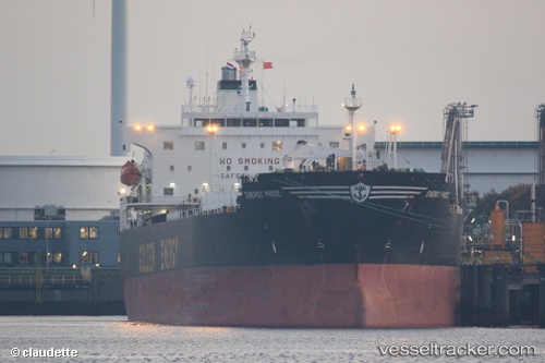
 OCEAN THALIA
Current Status
Where is the vessel?
OCEAN THALIA is currently in Near SKAGEN, based on AIS data received about 2h ago.
Latest AIS update:
Current position: 57.65146° N, 10.62913° E (Near SKAGEN)
Average speed (last 7 days): Loading…
Average speed (last 30 days): Loading…
Vessel profile: OCEAN THALIA is a Oil Products Tanker with dimensions m x m.
This page combines live AIS, route history, probable destination signals, nearby traffic, and port activity for practical vessel monitoring.
The current position of vessel OCEAN THALIA is 57.65146 lat / 10.62913 lng. Updated: 2026-03-27 07:58:05 UTCNearest reference points:
- Near SKAGEN
- Near Frederikshavn
- 19 nm E of Sæby
Currently sailing under the flag of Panama ![]()
Details:
Live Vessel OCEAN THALIA Analytics (details, animations, etc.)
Recent AIS points (UTC):
2026-03-27 01:49:23 UTC · 57.65107, 10.62918 · SOG 0 kn · COG 252°2026-03-27 03:49:25 UTC · 57.65151, 10.62893 · SOG 0 kn · COG 234°
2026-03-27 06:22:02 UTC · 57.65186, 10.62852 · SOG 0 kn · COG 222°
2026-03-27 07:58:05 UTC · 57.65146, 10.62913 · SOG 0 kn · COG 238°