 vesseltracker.com
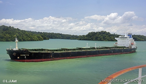
 Marietta
Current Status
Where is the vessel?
Marietta is currently in Near Pok Fu Lam, based on AIS data received about 1h ago.
Latest AIS update:
Current position: 22.17196° N, 114.13092° E (Near Pok Fu Lam)
Average speed (last 7 days): Loading…
Average speed (last 30 days): Loading…
Vessel profile: Marietta is a Bulk Carrier with dimensions 225m x 32m.
This page combines live AIS, route history, probable destination signals, nearby traffic, and port activity for practical vessel monitoring.
The current position of vessel Marietta is 22.17196 lat / 114.13092 lng. Updated: 2026-04-13 11:50:44 UTCNearest reference points:
- Near Pok Fu Lam
- Near Tai Tam
- Near WAILINGDING ISLAND
Currently sailing under the flag of Malta ![]()
Marietta built in 2004 year
Deadweight:
73880 tDetails:
Live Vessel Marietta Analytics (details, animations, etc.)
Recent AIS points (UTC):
2026-04-13 05:32:09 UTC · 21.76297, 113.51894 · SOG 12.6 kn · COG 87°2026-04-13 07:23:59 UTC · 21.88127, 113.90461 · SOG 13.1 kn · COG 73°
2026-04-13 09:56:46 UTC · 22.17048, 114.13048 · SOG 1 kn · COG 320°
2026-04-13 11:50:44 UTC · 22.17196, 114.13092 · SOG 0.1 kn · COG 261°