 vesseltracker.com
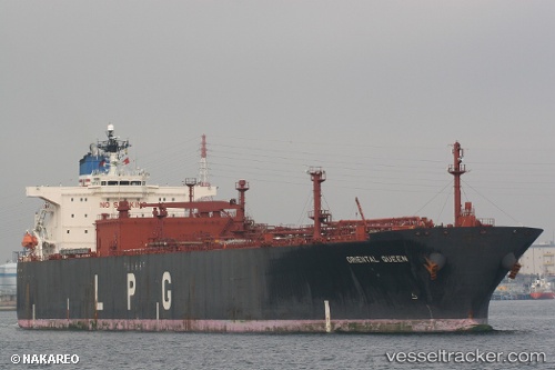
 SIONA
SIONA
Current Status
Where is the vessel?
SIONA is currently in 16 nm SE of Shinas, based on AIS data received about 1h ago.
Latest AIS update:
Current position: 24.60568° N, 56.73201° E (16 nm SE of Shinas)
Average speed (last 7 days): Loading…
Average speed (last 30 days): Loading…
Vessel profile: SIONA is a Tanker with dimensions m x m.
This page combines live AIS, route history, probable destination signals, nearby traffic, and port activity for practical vessel monitoring.
The current position of vessel SIONA is 24.60568 lat / 56.73201 lng. Updated: 2026-04-22 05:52:53 UTCNearest reference points:
- 18 nm SE of SHINAS
- 17 nm SE of Shinas
- 42 nm SE of Offshore Fujairah
Currently sailing under the flag of Angola ![]()
Details:
Live Vessel SIONA Analytics (details, animations, etc.)
Recent AIS points (UTC):
2026-04-22 02:28:52 UTC · 24.60630, 56.73210 · SOG 0.2 kn · COG -1°2026-04-22 03:52:52 UTC · 24.60584, 56.73231 · SOG 0 kn · COG 282°
2026-04-22 04:24:06 UTC · 24.60611, 56.73228 · SOG 0.2 kn · COG -1°
2026-04-22 05:52:53 UTC · 24.60568, 56.73201 · SOG 0 kn · COG 287°