 vesseltracker.com
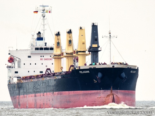
 AMIRA IRINI
Current Status
Where is the vessel?
AMIRA IRINI is currently in 340 nm NE of Bela Vista, based on AIS data received less than 1h ago.
Latest AIS update:
Current position: 18.03884° S, 30.71605° W (340 nm NE of Bela Vista)
Average speed (last 7 days): Loading…
Average speed (last 30 days): Loading…
Vessel profile: AMIRA IRINI is a Bulk Carrier with dimensions m x m.
This page combines live AIS, route history, probable destination signals, nearby traffic, and port activity for practical vessel monitoring.
The current position of vessel AMIRA IRINI is -18.03884 lat / -30.71605 lng. Updated: 2026-04-13 12:08:14 UTCNearest reference points:
- Open sea, approx. 401 nm off the nearest listed port
- Open sea, approx. 416 nm off the nearest listed port
- Open sea, approx. 430 nm off the nearest listed port
Currently sailing under the flag of San Marino ![]()
Details:
Live Vessel AMIRA IRINI Analytics (details, animations, etc.)
Recent AIS points (UTC):
2026-04-13 06:02:58 UTC · -17.46326, -29.61054 · SOG 12.2 kn · COG 241°2026-04-13 07:59:40 UTC · -17.64845, -29.97067 · SOG 12.1 kn · COG 241°
2026-04-13 09:45:46 UTC · -17.80952, -30.29449 · SOG 10.2 kn · COG 242°
2026-04-13 12:08:14 UTC · -18.03884, -30.71605 · SOG 11.7 kn · COG 236°