 vesseltracker.com
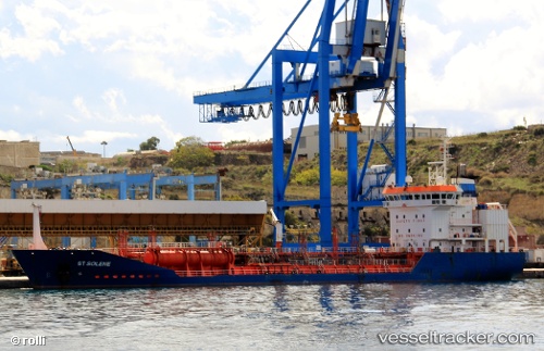
 BARBAROS HAYRETTIN V
Current Status
Where is the vessel?
BARBAROS HAYRETTIN V is currently in Near Hemiksem, based on AIS data received less than 1h ago.
Latest AIS update:
Current position: 51.15069° N, 4.33087° E (Near Hemiksem)
Average speed (last 7 days): Loading…
Average speed (last 30 days): Loading…
Vessel profile: BARBAROS HAYRETTIN V is a Oil/Chemical Tanker with dimensions m x m.
This page combines live AIS, route history, probable destination signals, nearby traffic, and port activity for practical vessel monitoring.
The current position of vessel BARBAROS HAYRETTIN V is 51.15069 lat / 4.33087 lng. Updated: 2026-04-08 14:00:11 UTCNearest reference points:
- Near Kruibeke
- Near Klein Willebroek
- Near Antwerp
Currently sailing under the flag of Panama ![]()
Details:
Live Vessel BARBAROS HAYRETTIN V Analytics (details, animations, etc.)
Recent AIS points (UTC):
2026-04-08 08:00:08 UTC · 51.15068, 4.33089 · SOG 0 kn · COG 187°2026-04-08 09:54:06 UTC · 51.15065, 4.33087 · SOG 0 kn · COG 186°
2026-04-08 11:57:09 UTC · 51.15065, 4.33088 · SOG 0 kn · COG 188°
2026-04-08 14:00:11 UTC · 51.15069, 4.33087 · SOG 0 kn · COG 187°