 vesseltracker.com
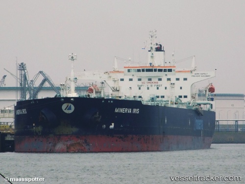
 HELION
Current Status
Where is the vessel?
HELION is currently in 34 nm SW of Feijo, based on AIS data received less than 1h ago.
Latest AIS update:
Current position: 37.67623° N, 9.54728° W (34 nm SW of Feijo)
Average speed (last 7 days): Loading…
Average speed (last 30 days): Loading…
Vessel profile: HELION is a Crude Oil Tanker with dimensions m x m.
This page combines live AIS, route history, probable destination signals, nearby traffic, and port activity for practical vessel monitoring.
The current position of vessel HELION is 37.67623 lat / -9.54728 lng. Updated: 2026-04-03 10:01:25 UTCNearest reference points:
- Near Sesimbra
- 31 nm SW of Sagres
- 54 nm W of Sagres
Currently sailing under the flag of Marshall Islands ![]()
Details:
Live Vessel HELION Analytics (details, animations, etc.)
Recent AIS points (UTC):
2026-04-03 03:30:34 UTC · 36.79783, -9.23461 · SOG 8.2 kn · COG 322°2026-04-03 05:33:43 UTC · 37.04867, -9.37308 · SOG 8.7 kn · COG 350°
2026-04-03 07:25:54 UTC · 37.30647, -9.44382 · SOG 8.6 kn · COG 347°
2026-04-03 10:01:25 UTC · 37.67623, -9.54728 · SOG 8.7 kn · COG 347°