 vesseltracker.com
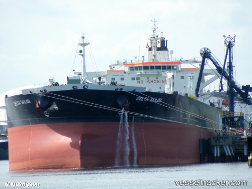
 RORA
RORA
Current Status
Where is the vessel?
RORA is currently in 59 nm S of Havdhem, based on AIS data received about 1h ago.
Latest AIS update:
Current position: 56.16405° N, 18.39633° E (59 nm S of Havdhem)
Average speed (last 7 days): Loading…
Average speed (last 30 days): Loading…
Vessel profile: RORA is a Crude Oil Tanker with dimensions m x m.
This page combines live AIS, route history, probable destination signals, nearby traffic, and port activity for practical vessel monitoring.
The current position of vessel RORA is 56.16405 lat / 18.39633 lng. Updated: 2026-03-29 07:56:38 UTCNearest reference points:
- Near WLADYSLAWOWO
- 39 nm W of Pilies juru uosto PVP/Klaipeda
- Near Gdynia
Currently sailing under the flag of Cameroon ![]()
Details:
Live Vessel RORA Analytics (details, animations, etc.)
Recent AIS points (UTC):
2026-03-29 01:23:09 UTC · 55.74753, 16.40502 · SOG 12.6 kn · COG 76°2026-03-29 04:18:07 UTC · 55.85514, 17.11531 · SOG 13.1 kn · COG 78°
2026-03-29 06:11:28 UTC · 55.96820, 17.81224 · SOG 13 kn · COG 62°
2026-03-29 07:56:38 UTC · 56.16405, 18.39633 · SOG 13.1 kn · COG 60°