 vesseltracker.com
 SUNNY VICTORY
Current Status
Where is the vessel?
SUNNY VICTORY is currently in 60 nm SE of Kidd's Beach, based on AIS data received about 2h ago.
Latest AIS update:
Current position: 33.96048° S, 28.36829° E (60 nm SE of Kidd's Beach)
Average speed (last 7 days): Loading…
Average speed (last 30 days): Loading…
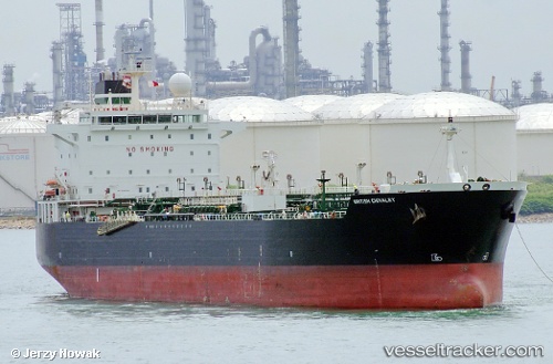
Vessel profile: SUNNY VICTORY is a Chemical/Oil Products Tanker with dimensions 184m x 184m.
This page combines live AIS, route history, probable destination signals, nearby traffic, and port activity for practical vessel monitoring.
The current position of vessel SUNNY VICTORY is -33.96048 lat / 28.36829 lng. Updated: 2026-03-29 01:07:49 UTCNearest reference points:
- 23 nm E of Port Saint John's
Currently sailing under the flag of Norway (NIS) ![]()
SUNNY VICTORY built in 2005 year
Deadweight:
46803 tDetails:
Live Vessel SUNNY VICTORY Analytics (details, animations, etc.)
Recent AIS points (UTC):
2026-03-28 19:37:17 UTC · -34.35380, 27.26827 · SOG 10 kn · COG 65°2026-03-28 21:42:18 UTC · -34.21983, 27.66865 · SOG 10.6 kn · COG 66°
2026-03-28 23:21:02 UTC · -34.09701, 27.99705 · SOG 11 kn · COG 67°
2026-03-29 01:07:49 UTC · -33.96048, 28.36829 · SOG 11.5 kn · COG 61°