 vesseltracker.com
 DERIN
DERIN
Current Status
Where is the vessel?
DERIN is currently in 17 nm NE of Kelnase, based on AIS data received less than 1h ago.
Latest AIS update:
Current position: 59.87793° N, 25.30065° E (17 nm NE of Kelnase)
Average speed (last 7 days): Loading…
Average speed (last 30 days): Loading…
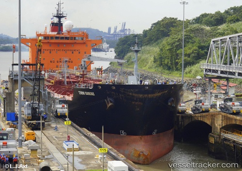
Vessel profile: DERIN is a Oil/Chemical Tanker with dimensions m x m.
This page combines live AIS, route history, probable destination signals, nearby traffic, and port activity for practical vessel monitoring.
The current position of vessel DERIN is 59.87793 lat / 25.30065 lng. Updated: 2026-04-03 21:59:40 UTCNearest reference points:
- Near Mölgi
- Near Vuosaari (Nordsjö)
- Near Suomenlinna (Sveaborg)
Currently sailing under the flag of Barbados ![]()
Details:
Live Vessel DERIN Analytics (details, animations, etc.)
Recent AIS points (UTC):
2026-04-03 15:34:51 UTC · 60.16642, 27.63608 · SOG 11 kn · COG 244°2026-04-03 17:45:40 UTC · 60.00032, 26.90138 · SOG 11.9 kn · COG 279°
2026-04-03 20:24:31 UTC · 59.93196, 25.90272 · SOG 11.6 kn · COG 257°
2026-04-03 21:59:40 UTC · 59.87793, 25.30065 · SOG 11.7 kn · COG 260°