 vesseltracker.com
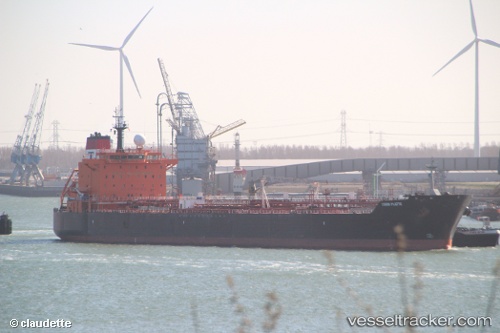
 CHASE OCEAN
Current Status
Where is the vessel?
CHASE OCEAN is currently in 22 nm SW of Supe Bay, based on AIS data received about 1h ago.
Latest AIS update:
Current position: 11.11446° S, 77.95329° W (22 nm SW of Supe Bay)
Average speed (last 7 days): Loading…
Average speed (last 30 days): Loading…
Vessel profile: CHASE OCEAN is a Oil/Chemical Tanker with dimensions m x m.
This page combines live AIS, route history, probable destination signals, nearby traffic, and port activity for practical vessel monitoring.
The current position of vessel CHASE OCEAN is -11.11446 lat / -77.95329 lng. Updated: 2026-04-10 00:07:57 UTCNearest reference points:
- 43 nm SW of Barranca
- Near Callao
- 125 nm SW of Supe Bay
Currently sailing under the flag of Liberia ![]()
Details:
Live Vessel CHASE OCEAN Analytics (details, animations, etc.)
Recent AIS points (UTC):
2026-04-09 17:59:55 UTC · -10.79560, -77.75361 · SOG 0.1 kn · COG 213°2026-04-09 19:56:54 UTC · -10.79561, -77.75361 · SOG 0.1 kn · COG 214°
2026-04-09 21:23:00 UTC · -10.79556, -77.75358 · SOG 0.2 kn · COG 212°
2026-04-10 00:07:57 UTC · -11.11446, -77.95329 · SOG 13.2 kn · COG 208°