 vesseltracker.com
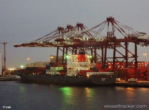
 Limari
Current Status
Where is the vessel?
Limari is currently in 47 nm W of Saint-Pierre, based on AIS data received less than 1h ago.
Latest AIS update:
Current position: 46.59701° N, 57.27681° W (47 nm W of Saint-Pierre)
Average speed (last 7 days): Loading…
Average speed (last 30 days): Loading…
Vessel profile: Limari is a Container Ship with dimensions 269m x 269m.
This page combines live AIS, route history, probable destination signals, nearby traffic, and port activity for practical vessel monitoring.
The current position of vessel Limari is 46.59701 lat / -57.27681 lng. Updated: 2026-03-31 09:32:19 UTCNearest reference points:
- Near MIQUELON
- Near SAINT PIERRE
- Near Fortune
Currently sailing under the flag of Bermuda ![]()
Limari built in 2005 year
Deadweight:
52683 tDetails:
Live Vessel Limari Analytics (details, animations, etc.)
Recent AIS points (UTC):
2026-03-31 03:48:31 UTC · 46.30009, -55.20533 · SOG 16.3 kn · COG 276°2026-03-31 05:21:38 UTC · 46.38042, -55.78404 · SOG 15 kn · COG 275°
2026-03-31 07:35:13 UTC · 46.48379, -56.57103 · SOG 14.8 kn · COG 278°
2026-03-31 09:32:19 UTC · 46.59701, -57.27681 · SOG 15.3 kn · COG 281°